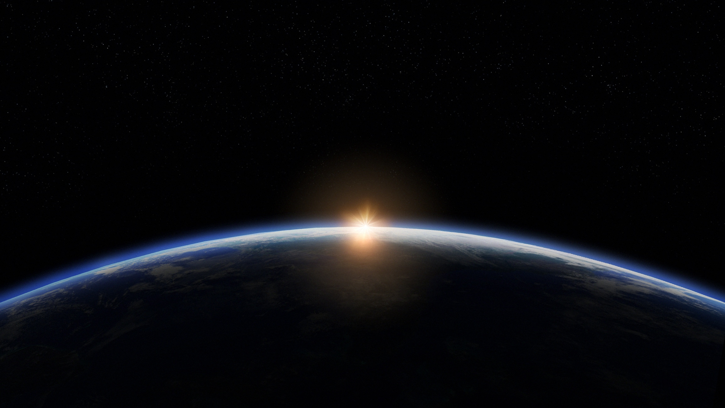

Earth VR
This virtual reality app allows you to travel to planet Earth and the moon, exploring their surface. Select a landing site and then once you reach the surface you can explore by tilting you head left and right to change you direction of flight. Looking up and down will change your altitude and in the settings you can enable a head up display to help you navigate further. The lunar data for this app is derived from cartographically accurate global image mosaics prepared by the USGS Astrogeology Research Program for NASA. |
The lunar data for this app is derived from cartographically accurate global image mosaics prepared by the USGS Astrogeology Research Program for NASA. “Five Lunar Orbiter missions were launched by the U.S. in 1966 and 1967 to study the Moon.” “The first three missions mapped potential Apollo lunar landing sites. Lunar Orbiter IV photographed most of the near and far sides of the Moon medium- and high- resolutions. Lunar Orbiter V completed the photography of the far side and collected additional images of 36 sites of scientific interest.” |
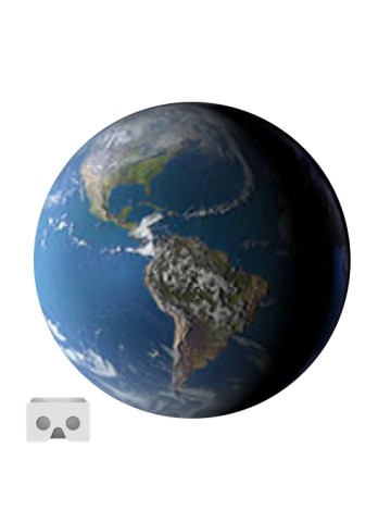

The Planets VR
This virtual reality app allows you to travel to the planets and their moons, exploring the surfaces..

VR Headset
These virtual reality glasses are specially designed for smart phones. They are easy to use, you jus..